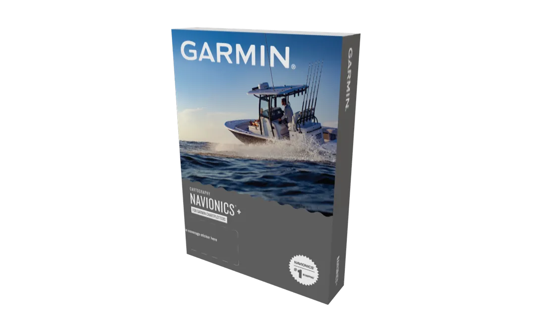
Description
Featuring vibrant colors, a streamlined interface and combined coastal/inland content with a popular Navionics® style color palette, Garmin Navionics+ cartography makes it easy to plot your course with the world’s No. 1 name in marine mapping.
Garmin 101316900 Attributes
- Compatibility: Compatible With Chart Plotters
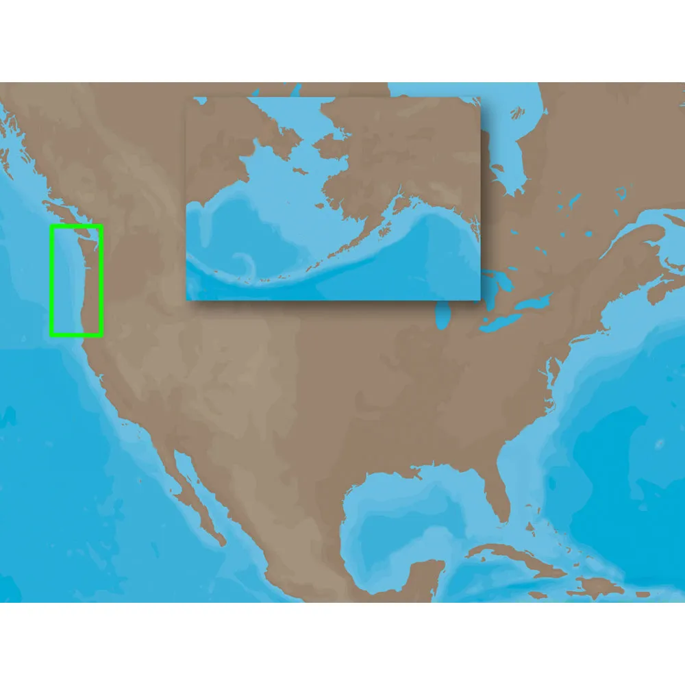
- Chart Coverage: America
Garmin 101316900 Features & Benefits
- Navigate With The Best Offshore And Inland Lake Coverage For Your Garmin Chartplotter
- Customize Your View With Various Chart Layers And Overlay Combinations
- Auto Guidance+™ Technology2 Lets You Navigate With Suggested Dock-To-Dock Routings
- Access Detail-Rich Mapping Of Coastal Features, Lakes, Rivers And More
- Integrated Garmin And Navionics® Content Offers Coverage For Boaters Worldwide
- Built-In Auto Guidance+ Technology2 Gives You A Suggested Dock-To-Dock Path To Follow Through Channels, Inlets, Marina Entrances And More
- To Give A Clear Picture Of Shallow Waters To Avoid, This Feature Allows For Shading At A User-Defined Depth
- No Supplier Warranty
!!!!—-
PRODUCT ID: 2002414
SKU: NVN-2002414
CSKU: CWR-2002414
REWRITE: 2013525-garmin-101316900-marine-cartography
MPN: 010-13169-00
UPC: 753759290849
ASIN:
WSKU:
SSKU:
KSKU: GAR101316900
GSKU:
MSKU:
LSKU:
NAME: Garmin 101316900 Marine Cartography
NAME_EX:
PTITLE: Garmin 101316900 Marine Cartography
TYPE: Cartography | Nobeltec
VENDOR: Garmin
Google Category:
Amazon Category:
Amazon Title:
Google Title:
Amazon Category:
Gtags:
GSpecs: