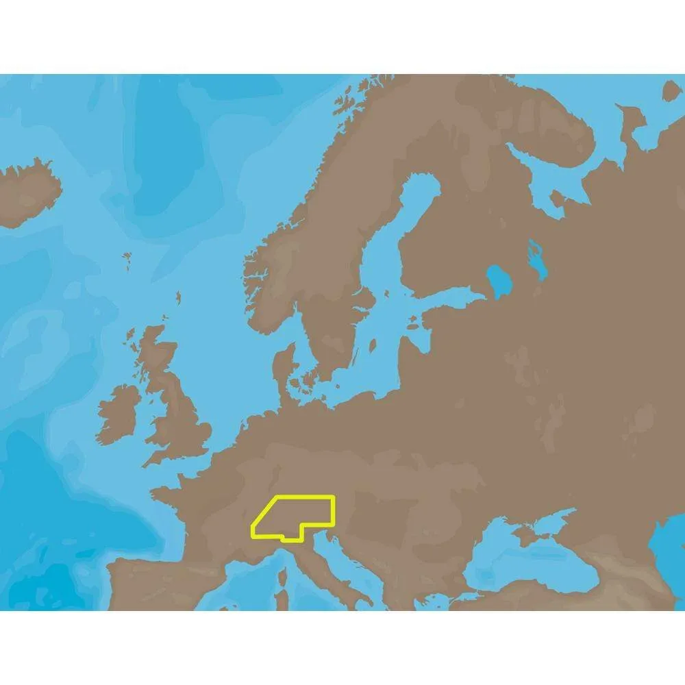
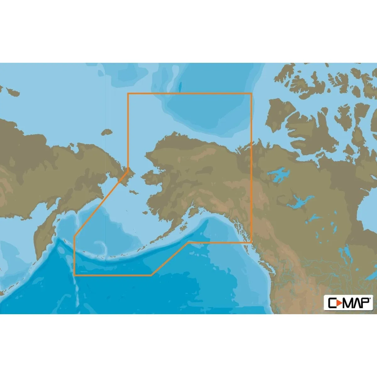
C-MAP M-NA-D028 4D Full Alaska #M-NA-D028-4D4D SD
Original price was: $383.24.$76.65Current price is: $76.65.

Description
C-MAP USA M-NA-D028-4D4D SD Electronic Charts
C-MAP 4D ? Customize the way you cruise, sail or fish today … and tomorrow.
C-MAP 4D is the only maritime chartplotting solution that lets you completely customize your digital navigation charts. You choose the content (MAX or 4D), and you choose when to purchase additional Value-Added-Data to enhance your boating or sailing experience. With C-MAP 4D, you enjoy your time on the water knowing your digital marine charts and GPS maps are based on reliable, updated marine navigation and information. Learn more about marine chart solutions available in C-MAP 4D.
3 Dimensional Chart View
A new perspective. The world has three dimensions.
The world has three dimensions. When you add the 4th dimension of time ? meaning consistent, periodic updates ? you combine the most detailed 3D height and depth worldwide database with a continuous update process to give you a personalized navigation experience with up-to-date data for safe navigation.
Satellite Images with 2D and 3D Overlay
See the real world on your screen.
C-MAP 4D includes a navigational perspective with high-resolution coastal imagery overlaid on the most accurate and up-to-date vector data, plus thousands of extraordinary photos for the most popular marinas and areas of interest.
Digital Raster Charts with 2D and 3D Overlay
Innovate tradition.
With raster charts, you have an additional reference source for navigational awareness. Get “at-a-glance” information using the nautical paper charts overlaid on the multi-dimensional shaded relief to have a new visual experience.
Guardian Alarm
An extra layer of safety.
When activated, Guardian Alarm performs an automatic forward-scanning check for obstacles. Use the feature as an added backup to alert you should you head toward a potentially harmful object.
Easy Routing
Automatically create a route.
Enter start and end points along with specific boat parameters and automatically receive waypoints of the shortest route; highlights potential hazards and displays varying levels of alerts for each segment of the route, allows you to manually adjust the route.
Value-Added-Data
Additional enhancements tailored to your boating passion.
With C-MAP by Jeppesen charts, you invest in a navigation solution that continually evolves. In addition to consistent updates, we’re adding new features and new data that deliver useful information, taking your charts to a whole new level.
With C-MAP 4D, you’ll enjoy the only maritime navigation chart product that can be customized exactly the way you want. It’s the only nautical digital cartography that is actually two products on one cartridge, AND has the capability of adding new marine chart data as it becomes available.
First, choose either the MAX or full 4D content on your cartridge. Should you start out with Max and decide at a later date to upgrade to the full 4D content, simply use the same cartridge to purchase and unlock the additional technology.
C-MAP 4D allows you to unlock or add Value-Added-Data as they become available.
Value-Added-Data can be added to either MAX or 4D content.
| Chart Cartridge | MAX | 4D |
|---|---|---|
| Base Cartogrpahy |
x |
x |
| Port Info |
x |
x |
| Tidal Heights |
x |
x |
| Tidal Flows |
x |
x |
| Animated Tidal Arrows |
x |
x |
| Ocean Currents |
x |
x |
| Guardian Alarm |
x |
x |
| Detailed Harbor Charts |
x |
x |
| C-Marina Port Database |
x |
x |
| California MPA’s* (US only) |
x |
x |
| Major Roads |
x |
x |
| Detailed Roads |
x |
x |
| Aerial Photos |
x |
x |
| European POI’s |
x |
x |
| Land Elevations |
x |
x |
| Nav-Aids |
x |
x |
| Multi-Language (UNICODE) |
x |
x |
| Perspective (Bird’s Eye) View |
x |
x |
| 3D View |
x |
|
| Satellite Images Overlay |
x |
|
| Raster Charts Overlay |
x |
|
| Easy Routing** |
x |
|
| The opportunity to unlock or add Value-Added-Data | ||
| High-resolution bathymetry |
x |
x |
Normalized SKU: MNAD0284D4DSD